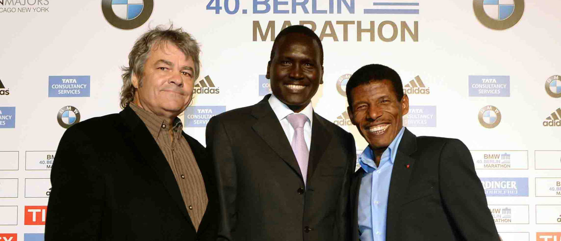
Dr. Sean Hartnett, UW-Eau Claire professor of geography, stands with marathoners Paul Tergat, center, and Haile Gebrselassie at a 2011 celebration of world record holders at the 2011 Berlin Marathon.
For the second time in the past three Olympics, UW-Eau Claire geography professor Dr. Sean Hartnett has produced an elevation profile map of the marathon course for competitors, coaches, media and fans.
The Tokyo Olympics women’s and men’s marathon races will be Aug. 7 and 8 (Friday and Saturday night in the U.S.) in Sapporo in far northern Japan because of concerns about excessive heat in Tokyo.
As the new route in Sapporo was being finalized, course surveyor and designer David Katz contacted Hartnett and asked if the geography professor could create elevation profile maps similar to what he produced for the 2012 London Olympics marathon and last year’s U.S. Olympic Trials marathon in Atlanta.
“Fortunately, Japan has superb Google Earth LIDAR (light detection and ranging) elevation resources and street views,” Hartnett says. “After David sent me a GPS file of the exact course route and curbside pictures of kilometer marks, I could make an accurate map and elevation profile from my sofa.”
Rather than having athletes estimate elevations from the profile line, Hartnett prints actual elevations along the baseline of the graph. He also includes pertinent information that the marathoners will encounter over the course such as water, fluid and timing stations, and the location and types of turns.
The maps were originally inspired by Kenyan Paul Tergat, who set the marathon world record of 2:04:55 in 2003 and has been an International Olympic Committee member since 2013.
“When Paul was preparing to run the hilly New York City Marathon in 2005, he asked me to prepare a map with all the course details so he could ‘get his mind around it,’’’ Harnett recalls. “When we were going over the elevation graph and I was estimating hill climbs and making notations, Paul suggested to just print the elevations on the map.”
After a draft map was produced for the Sapporo course, Hartnett worked with Alessio Phead, head of marathon competitions for World Athletics, the International governing body for track and field, and assistant Benjamin Roux to employ World Athletics’ fonts, colors and logos. They worked to make a standard design template that could be used for future championship marathons.
The Sapporo marathon course is “rather topographically boring compared to the London and Atlanta courses,” Hartnett says.
“Both London and Atlanta had a lot of rolling hills, not major climbs but a lot of ups and downs,” Hartnett says. “Sapporo is a coastal river city at the base of the mountains and the roads are superbly engineered for drainage.”
While the course is flat and fast by Olympic standards, Harnett says, the athletes’ biggest environmental obstacle will be energy-sapping 70-plus degree dewpoints expected throughout races in Sapporo.
Since 1985, Hartnett has reported on more than 250 marathons for Track & Field News, including the past 13 world records and the men’s and women’s marathons at four previous Olympics. This year, he will be reporting on the Sapporo from afar, watching the live TV feed with map in hand, tracking the races hill by hill and turn by turn.
Hartnett can be reached at hartnesg@uwec.edu.
